Receiver Locations

VRS needs to know the location of the receiver if it is to decode the initial location of ground traffic. This is because, unlike airborne traffic, the position messages for ground traffic decode to a position of 0-90° latitude and 0-90° longitude. There is no way of telling which hemisphere nor which of the 4 positions of longitude (separated by 90°) the aircraft is in, so in accordance with ICAO recommendations the program selects the closest position to the receiver.
If you do not supply a receiver location then:
- For airborne aircraft: you will see positions. Receiver location is not used when establishing initial positions for airborne traffic.
- For airborne aircraft that subsequently land: you will see positons while they are airborne and after they land. Receiver location is only used to determine the initial position of surface traffic.
- For aircraft you initially pick up when they're on the surface: you will not see their position until they take off.
If you supply a receiver location then it is also used in some of the ICAO reasonableness tests.
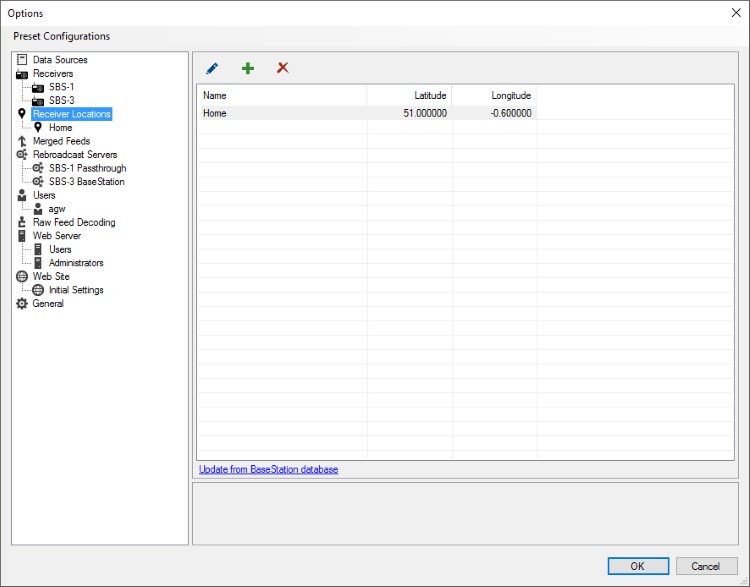
Update from BaseStation database
Clicking this link on the receiver locations list screen removes any entries previously imported from BaseStation and replaces them with the current BaseStation settings.
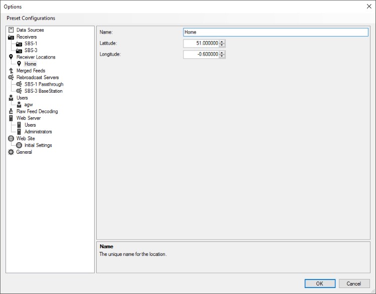
Location Options

Location
A name to assign to the receiver. The name must be unique across all receiver locations.
Latitude
The latitude portion of the receiver's location.
Longitude
The longitude portion of the receiver's location.
